
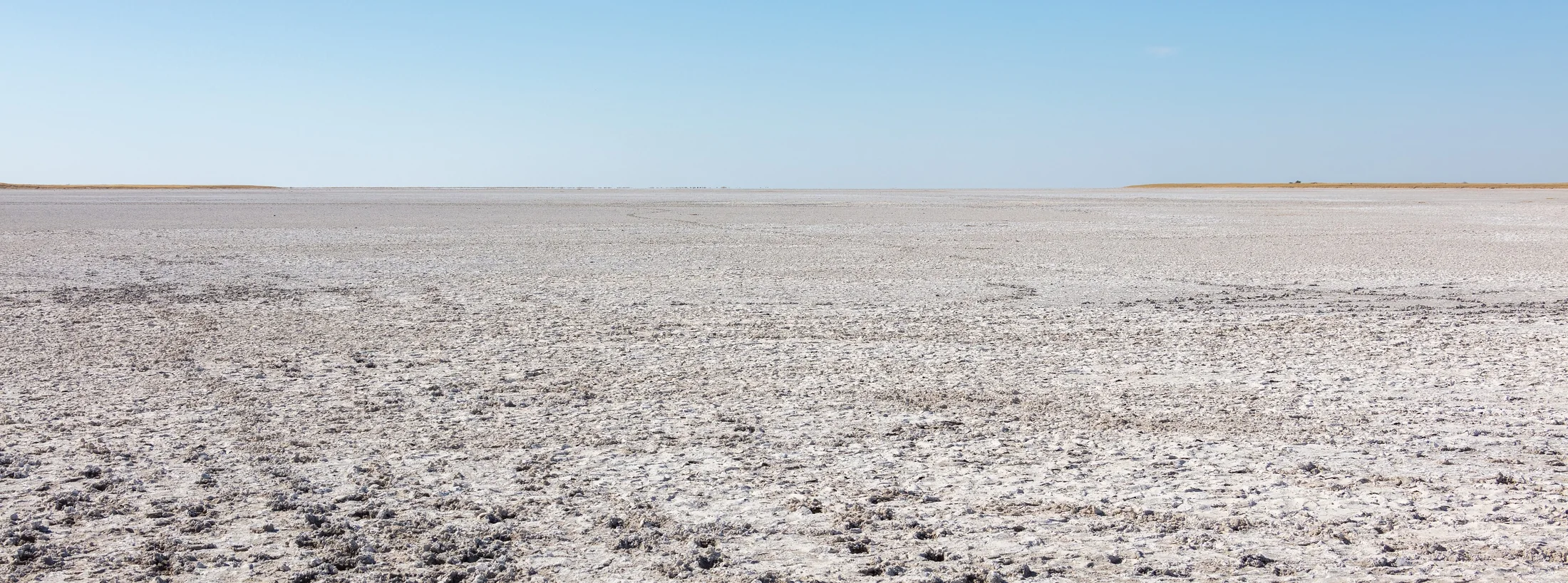
The first impression of a salt pan may be its openness. Stay with the view and smaller differences begin to matter: the texture underfoot, a change in colour towards the edge, the height of the horizon, or vegetation beyond the pale surface. A useful visit gives these details time rather than treating the landscape as a blank background.
Makgadikgadi belongs to a wider set of pans and adjoining environments. The Botswana Tourism Organisation describes grasslands, acacia woodland and settlements around the park’s fringes. The Central Kalahari is a different regional journey, with its own combinations of grass, scrub, pans and fossil valleys. Plan the places separately before deciding whether to connect them.
Keep the exact location in view
A general phrase such as “the salt pans” is not an adequate meeting point or overnight address. Ask which pan, which access point and which base a proposed visit uses. Find out how far the advertised activity is from where you will sleep and who handles that journey. A clear place name lets you compare one description with another.
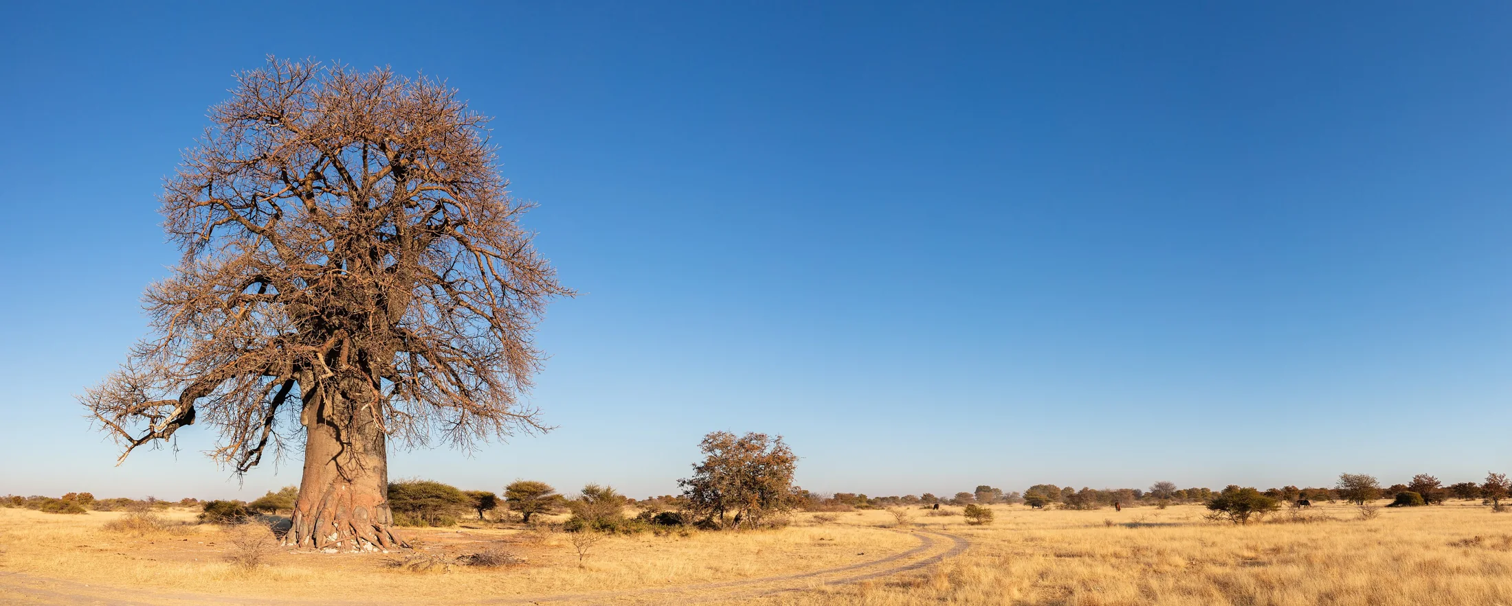
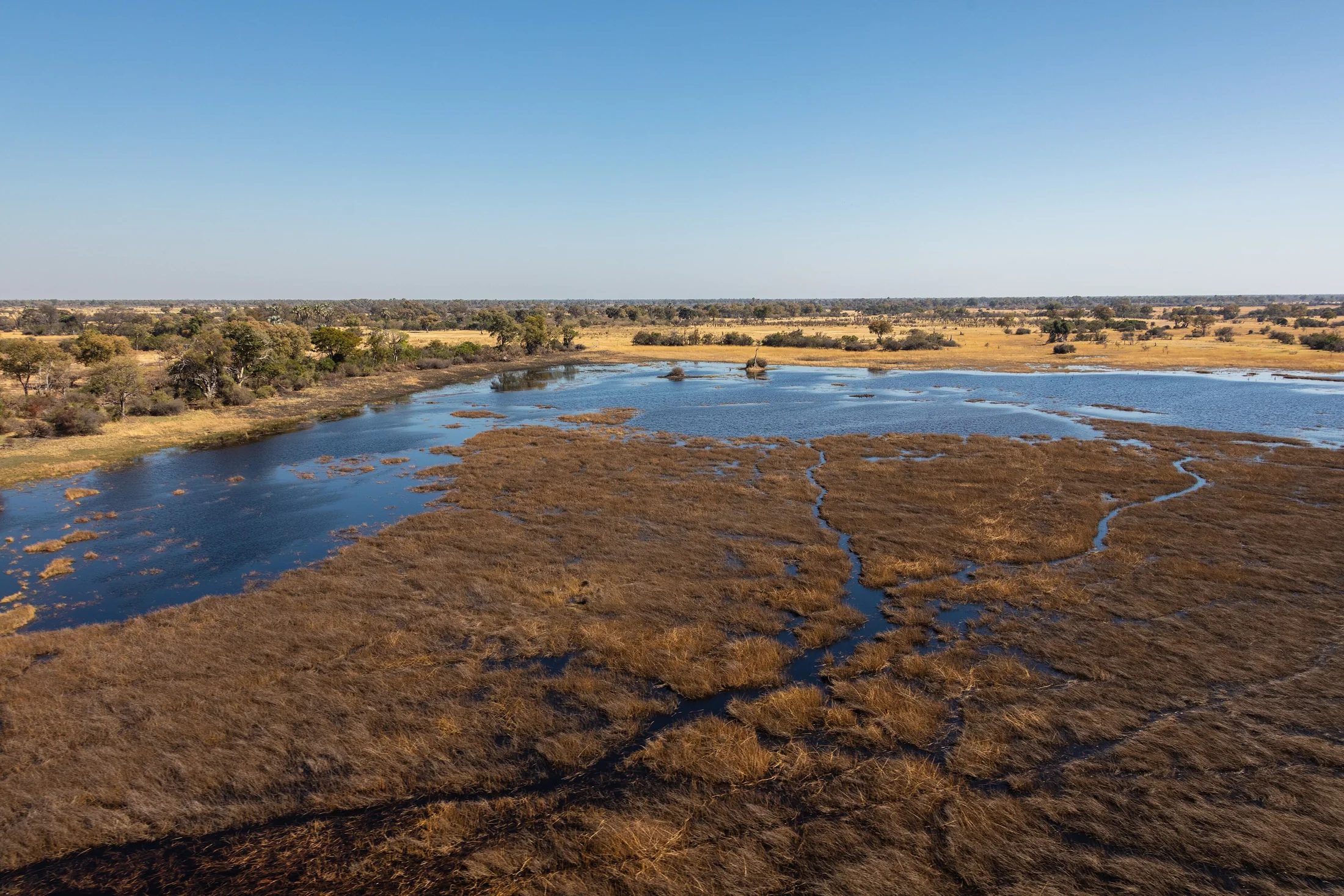
Do the same for a dryland itinerary. A reserve name can cover a large area, and a photograph of a baobab or a grassland does not establish that it is beside your camp. Our image below is located in Makgadikgadi Pans National Park. It introduces a different texture within that setting; it should not be read as an image of the Central Kalahari.
Ask about conditions, not a universal season
Surface conditions and access can change with weather. Ask the responsible guide or operator what the proposed route requires for your dates and how the plan changes if access is unsuitable. Do not use a dry-looking photograph as evidence that a route is passable. Establish how updates will reach you before travelling to a remote meeting point.
- Confirm the exact area and overnight location.
- Clarify the transport, guide and equipment included.
- Ask who checks current access conditions.
- Agree on the alternative plan and any related terms.
A useful comparison records these answers beside the activities. This makes it easier to see the practical difference between a short excursion from a town and a multi-stage journey through remote areas. It also avoids comparing prices that cover different amounts of travel or support.
Leave room for a quieter observation
On a guided visit, ask what distinguishes the surface, grasses and trees around you. A single well-explained change in the landscape can be more memorable than a long list of unnamed stops. Keep photographs specific: record the place and date when you know them, and avoid captions that imply all of Botswana looks the same.
Cultural heritage has its own context and responsibilities. Tsodilo, in north-west Botswana, is a sacred landscape with longstanding importance to local communities and a major record of rock art. It is a separate journey, not an interchangeable decorative extension of a pan visit. Seek the current local visiting arrangements and respect the conditions set by custodians.
Build a route around a real interest
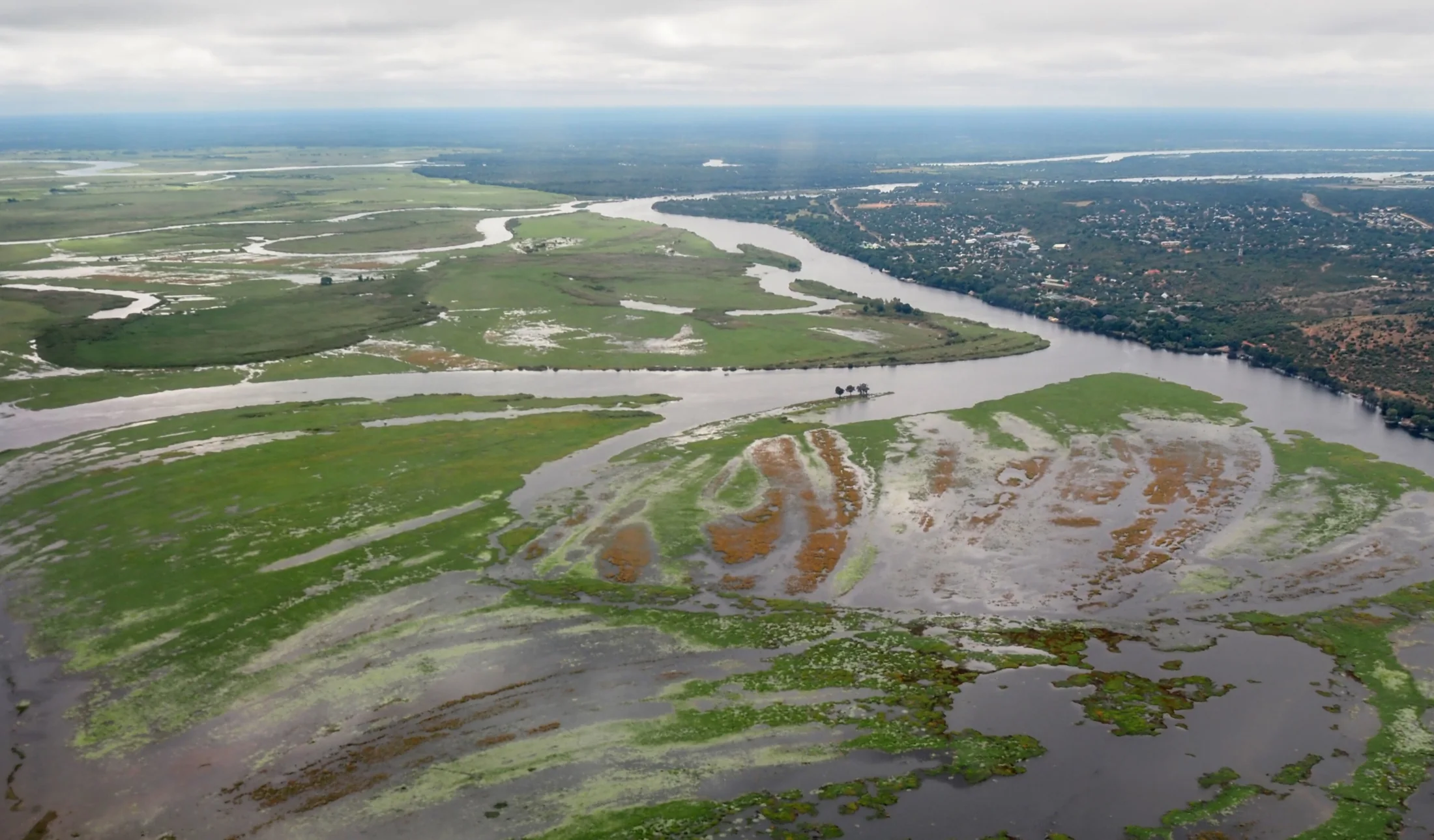
Decide what draws you to open landscapes, then allow enough time for the associated travel. Compare your plan with the very different water setting of the Okavango. You can combine interests without assuming that every environment belongs in a single short trip.
Context: BTO — Makgadikgadi, BTO — Central Kalahari and UNESCO — Tsodilo. Current access is not established by this overview.
,_parque_nacional_Makgadikgadi_Pans,_Botsuana,_2018-07-30,_DD_03-08_PAN.jpg)


